
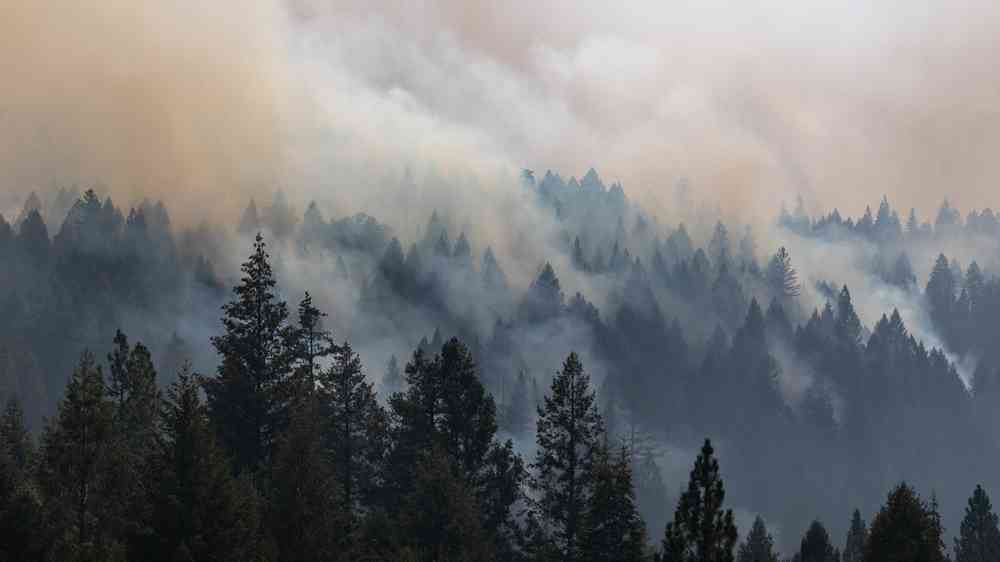
Europe experienced more than 8,000 wildfires recorded in 2022 alone, burning through over 837,000 hectares. Climate change, marked by rising temperatures and prolonged droughts, is projected to heighten the frequency and severity of these fires. Canopy fuels, such as CBH and CBD, key determinants of fire spread rate and intensity. However, previous datasets on these fuels lacked sufficient spatial scale and resolution, limiting effective fire management strategies. This gap in knowledge has led to an urgent need for detailed, pan-European canopy fuel maps to improve wildfire prediction and mitigation efforts.
Published in Geo-Spatial Information Science on December 20, 2024, a team of international researchers, led by scientists from the Forest Science and Technology Centre of Catalonia and the University of Padova, has introduced a groundbreaking method for mapping canopy fuels across Europe. Utilizing satellite data, machine learning, and allometric models, the study produced high-resolution maps of CBH and CBD, validated with ground data from four countries. These maps offer a comprehensive view of forest fuel distribution, essential for accurate fire behavior simulations and risk assessments.
The research team combined data from Sentinel-2 multispectral imagery and GEDI spaceborne Lidar, and developed an AI-based method to estimate aboveground biomass (AGB) and canopy height. Using species-specific allometric models, they derived values for CBH and CBD, which were then validated against 804 ground plots and LiDAR-based canopy fuel maps. The results demonstrated strong accuracy, with CBH and CBD maps achieving correlation coefficients of 0.445 and 0.330, respectively. Notably, the method showed even higher precision in dense canopies (cover >80%), highlighting its reliability in forested areas. The study also addressed uncertainties in mountainous and high-latitude regions, where data accuracy is lower. This novel approach marks a significant advancement in fire risk assessment, providing a harmonized dataset for wildfire management across Europe.
"These maps are a game-changer for wildfire management," stated Dr. Francesco Pirotti (UNIPD), a lead author. "By providing detailed, pan-European data on canopy fuels, we can better predict fire behavior and plan more effective mitigation strategies, especially as fire risks increase due to climate change."
The newly created canopy fuel maps have immediate applications in wildfire risk assessment and management. Fire agencies can leverage these maps to simulate fire spread and intensity, enhancing the accuracy of fire behavior models such as FARSITE and FlamMap. Moreover, the data can guide fuel management practices, including controlled burns and vegetation thinning, to reduce fire hazards. This innovative methodology sets a new benchmark for future research, promoting the integration of satellite data and AI in environmental monitoring. As wildfires continue to threaten ecosystems and communities across Europe, these maps provide a critical tool to bolster resilience and protect vulnerable regions.
